Jammu and Kashmir (J&K) is touted as one of the most potentially hazardous regions in the world. The location is in the young and tectonically active Himalayas, which means it is at risk of earthquakes, landslides, avalanches, cloudbursts, and flash floods. For thousands of years, these perils have changed the landscape, but in the last few decades, people have made them worse. Rapid urbanisation, mega infrastructure projects, and unregulated land use have rendered natural processes into disasters that happen over and over again.
The adverse consequences are clear. National Highway 44 (NH44), the valley’s main road, has had more and more landslides over the previous ten years, particularly when big construction and tunnel projects are underway. Several tunnel disasters have made individuals extremely concerned about how well geotechnical planning is done. Floodplains are still being built on, which makes the consequences of cloudbursts and flash floods worse. Seismic vulnerability is well known, but building practices still don’t do much to fix it. These causes have consistently endangered lives, livelihoods, and essential infrastructure.
Institutional and Structural Gaps
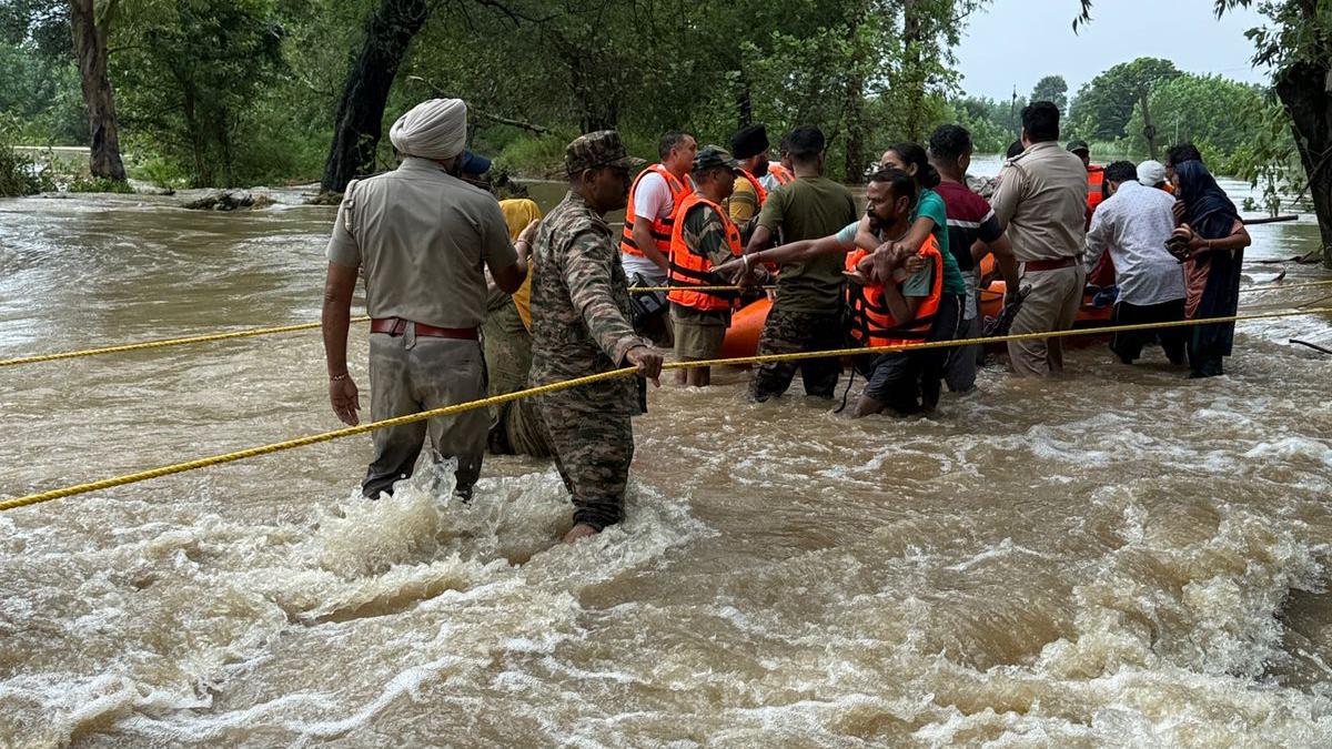
The recent Post-Disaster Needs Assessment (PDNA) for the Ramban floods and landslides of April 2025 shows how important it is to work together to respond to disasters. The Chief Minister of J&K asked a group of national specialists from the National Disaster Management Authority (NDMA), CSIR-CBRI, NIDM, and other organisations to do the exercise. It was meticulous and reliable. At the same time, it shows where J&K has to improve: while national-level experience guarantees high-quality assessments, the lack of specific local institutional capacity means that J&K has to rely on outside help for these important responsibilities. Strengthening local skills will help national efforts, speed up mobilisation, and make recovery and preparedness actions more timely.
States like Uttarakhand and Himachal Pradesh have created special agencies to deal with disasters, such as the Uttarakhand Landslide Mitigation and Management Centre and Himachal’s Disaster Management Authority. However, J&K does not have similar organisations. Here, disaster management continues to be jammed up and reactive. Technical audits of road and tunnel projects are part of the construction process, but they usually only check for compliance and don’t include the ongoing, independent geotechnical oversight that is needed in such a complicated setting.
Because there isn’t a permanent, local centre for hazard study and monitoring, people rely too much on outside groups to estimate damage after a disaster. It is great that NDMA, NIDM, and CSIR support the country, but relying only on outside help won’t work if people aren’t always ready. Disasters are always changing, and without real-time regional capability, early warning, preventive, and mitigation initiatives can’t keep up with new hazards.
Socio-Environmental Drivers of Vulnerability
The risk level in J&K right now is both natural and man-made. People often build homes in valleys that are likely to flood, build on riverbanks, and construct roads on slopes that are sensitive to geology. The frequent landslides along National Highway 44 (NH44), which are made worse by large-scale construction and several tunnel collapses, show how building without strong geotechnical protections may make important infrastructure less stable.
This pattern goes beyond just landslides. Flash floods in Kishtwar caused by cloudbursts, the terrible floods in Srinagar in 2014, and road closures caused by avalanches show that human activity makes the environment more dangerous. According to disaster science:
Risk = Hazard × Exposure × Vulnerability
It is not possible to get rid of hazards, but you can lower your risk of being exposed to them. J&K’s failure to effectively address these human variables fosters a cycle where natural processes constantly escalate into preventable disasters.
The Case for a Dedicated Multi-Hazard Research and Monitoring Centre
To stop this loop, J&K needs to strengthen its own institutions. Setting up a Multi-Hazard Research and Monitoring Centre at the state level would provide:
Using current geospatial and sensor-based systems to keep an eye on landslides, floods, avalanches, and earthquakes all at once.
Early warning systems that are made to work with J&K’s specific geography and dangers.
Independent technical reviews of all major infrastructure projects to make sure they meet geotechnical and seismic safety standards.
Quick assessments after a crisis that don’t depend just on outside help, which speeds up response and recovery.
Building up the skills of local people by hiring and training engineers, scientists, and technicians from J&K.
A centre like this would add to, not replace, national assistance. It would cut down on response times, make planning easier, and make sure that expertise stays in the area by giving people a ready, locally embedded capacity.
Policy Recommendations
Set up a Multi-Hazard Research and Monitoring Centre in J&K that the state pays for and can enforce.
Combine district-level catastrophe management plans with real-time early warning systems.
Connect reducing risks with creating jobs, making sure that local communities have a say in how to do this.
Conclusion
J&K’s risk profile is multi-dimensional, and to be better prepared, we need to think ahead. Strengthening local capacity, enhancing early warning systems, and making sure that development takes into account geotechnical and ecological factors can all help lower risk a lot.
Instead of only reacting to crises, preparedness should be seen as a long-term investment in resilience. J&K will be better able to protect lives, livelihoods, and infrastructure from natural hazards if it builds institutional procedures, promotes scientific competence in the region, and encourages community engagement. The problems in the area are substantial, but with long-term planning and dedication, their effects can be lessened.
Leave a Reply
You must belogged in to post a comment.